After wandering Elizabeth street endlessly and taking photos everywhere I looked, I have come to the conclusion that the street is very much a shopping retail street. Apart from the two very large car park entrances which will have to be addressed if pedestrianised, it is much like any other street in Brisbane's CBD. The street was full of chaos, there is a new government building being constructed at the southwest end of the street which is the result of many large vehicles travelling in and out of the street. There is a potential for an existing cross block short cut through to Margaret street. The types of stores are mainly independently owned stores, which seem to be regularly changing ownership every 6 months or so. Another aspect that i noticed was that compared with margaret and mary st there is slightly heavier traffic on the one way street, this is likely due to the direct connection with the express way
albert and elizabeth st intersection
small independent retailers
new building typologies within elizabeth street
second large carpark with new colourful facade
large hotel
empty blocks expecting highrise buildings
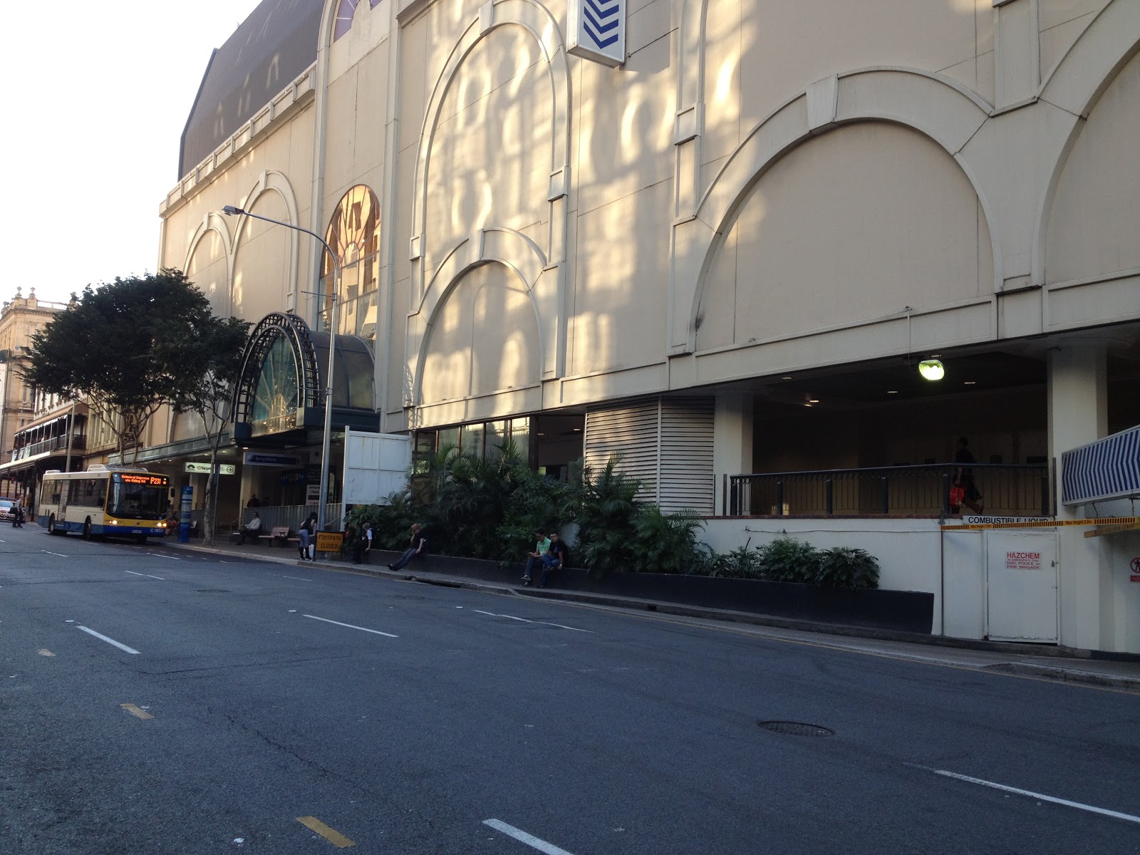
myer centre underground carpark
new government building
The main feedback on friday was: 'how do i make my small activating interventions site specific to elizabeth street?'
Over the past couple of days I have thought quite a great deal about this site and have come to the conclusion that it is much like many other retail streets in Brisbane's CBD.
The next thing I have to focus on is the places within Elizabeth street that will need to be activated once pedestrianised.
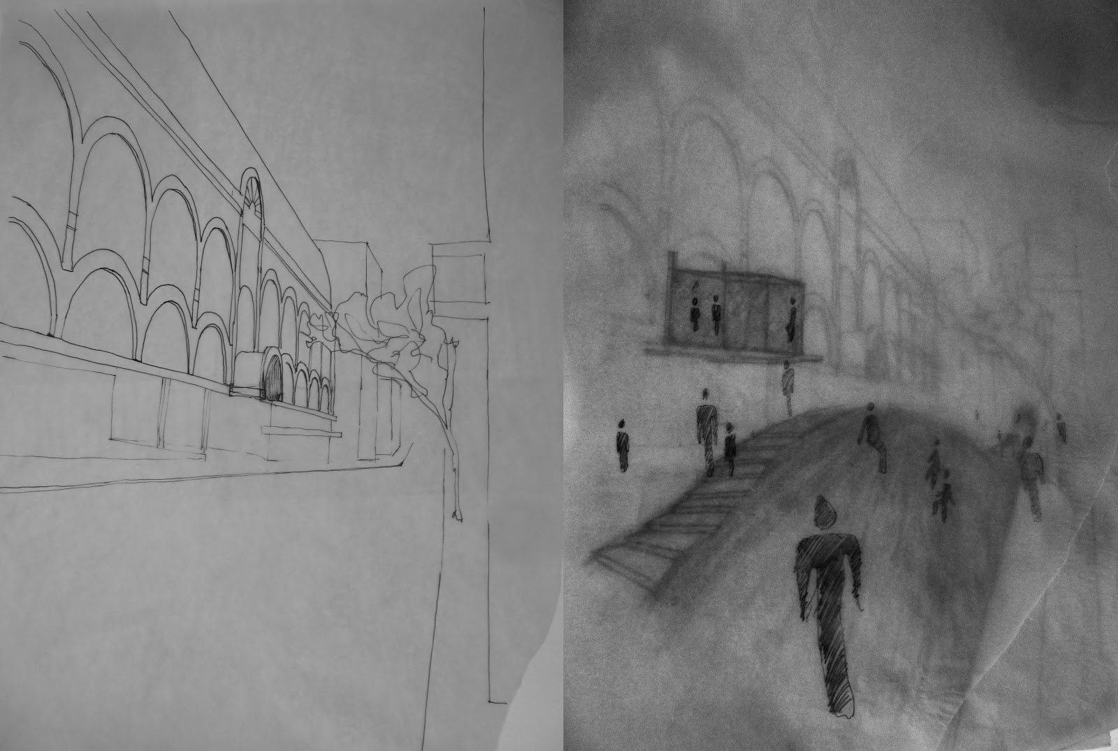
The Myer Center has an interesting blank facade which could be interesting to activate.